IDNO
LS.167787.LAR
Description
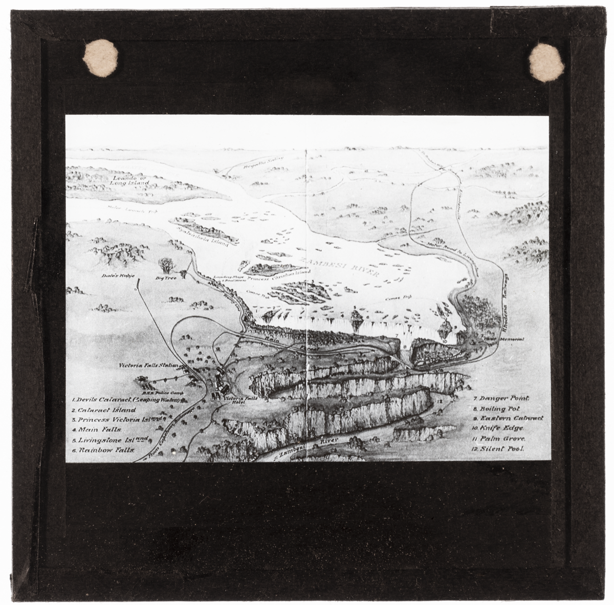
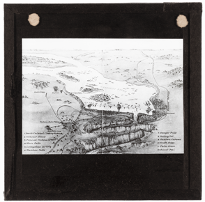
Sketched map of the Zambezi River and Mosi-o-Tunya (Victoria Falls) with the following features marked:
1. Devil's Cataract (Leaping Waters)
2. Cataract Island
3. Princess Victoria Island
4. Main Falls
5. Livingstone Island
6. Rainbow Falls.
7. Danger Point
8. Boiling Pot.
9. Eastern Cataract.
1. Knife Edge.
11. Palm Grove.
12. Silent Pool
Place
C Africa; S Africa; Zimbabwe; Zmabia; Zambezi River; Mosi-o-Tunya [Victoria Falls]
Cultural Affliation
Named Person
Photographer
None
Collector / Expedition
Armstrong, A. Leslie [Prehistoric Society of East Anglia]
Date
circa 1920s - 1930s
Collection Name
Armstrong Collection
Source
?Prehistoric Society of East Anglia
Format
Lantern Slide Black & White
Primary Documentation
Other Information
LS.167713.LAR - LS.167807.LAR were found unaccessioned in drawer S.318.
FM:308066
Images (Click to view full size):