IDNO
P.14441.GCLK
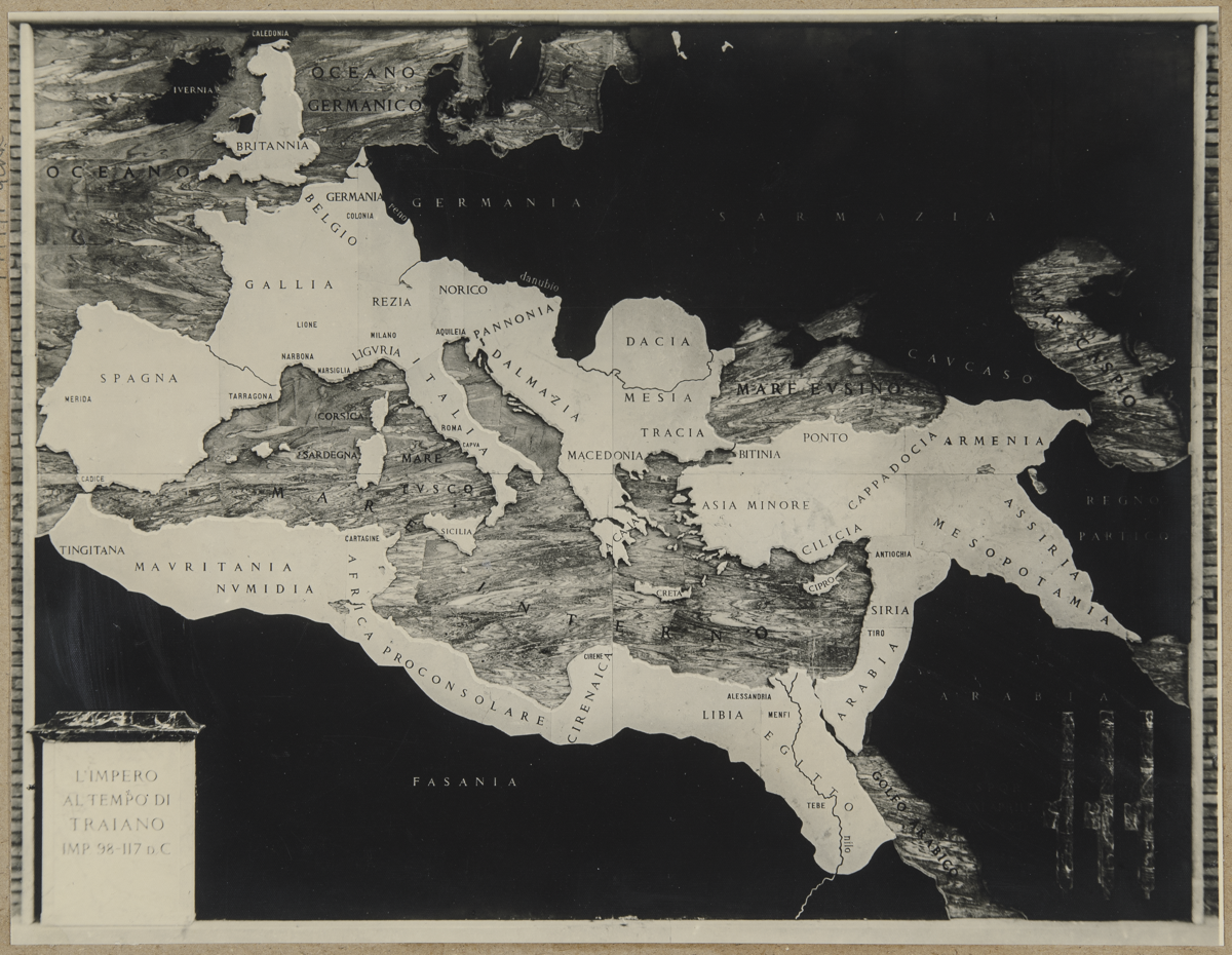
Description
A map showing the extent of the Roman empire at AD 98-117? in Europe. [GB 11/07/2000]
Place
W Europe; N Africa; W Asia; Italy; Spain; Germany; Belgium; United Kingdom; Algeria; Libya; Syria; Türkiye [Turkey]
Cultural Affliation
Named Person
Photographer
None
Collector / Expedition
Clark, Grahame
Date
circa 1950s
Collection Name
Clark Collection
Source
Format
Print Black & White
Primary Documentation
Other Information
The print was found in an drawer now numbered C178/ by the transcriber.
Two prints were found mounted together on card numbered P.14441.GCLK, the second image was reassigned the new IDNO P.143569.GCLK. [JD 25/02/2019]
FM:149091
Images (Click to view full size):